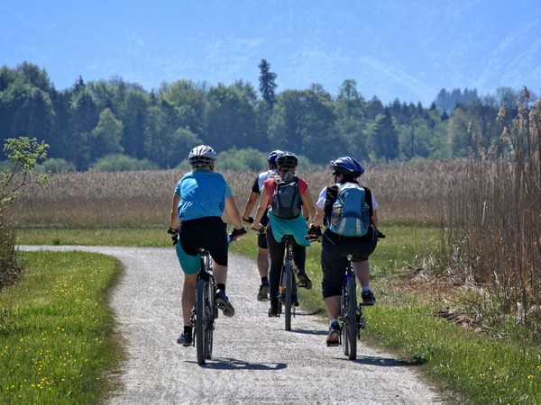
Martin Gabryš, a graduate of the Faculty of Science at Palacký University, created a new map application that enables cyclists to get to know the Baťa Canal and its surroundings better. Under the auspices of the Baťa Canal and the Association of Municipalities for the Development of the Baťa Canal, he set out interesting routes for road, trekking and mountain bikes, located just few kilometers from the tourist-sought waterway.
The Baťa Canal is lined with a cycle track more than 80 kilometers long, followed by trails and routes in the surrounding area, including the Moravian wine trails. “Currently the track is much frequented and there is a lot of traffic. Therefore, we decided to create several other routes so that the cyclists would ride partly on the known section of the cycle track and for the most part along other routes around the waterway,” said Martin Gabryš. As he further added, cyclists can visit lesser-known places during the ride along the Baťa Canal and thus prolong their stay in the region.
In the map application there can be found many routes differentiated according to the type of cycling, difficulty and points of interest in the surroundings. “In the first stage we covered the area between Kroměříž and Uherský Ostroh. Further extension to the south is currently under negotiation. I hope that the Slovak town Skalica will also participate in the project. Together with Matyáš Černohous from the Department of Informatics of the Faculty of Science, we will test, improve and supplement the application with additional data and descriptions of individual routes,” added Martin Gabryš.
New routes for cyclists are presented in the online map application both on the computer and on the mobile phone. “By creating circuit routes we try to introduce other parts of the region to the cyclists so that their routes are not stereotyped. Routes are color coded according to the difficulty. The green color indicates flat routes, the orange slightly hilly terrain and the red stands for hilly routes. The application menu also includes points of interest and background maps,” added Martin Gabryš. The application can be found on the website www.batacanal.cz
